Mapping the Archives
Earlier this year, Carmarthenshire Archives hosted three engaging and thoughtfully designed creative workshops in the Archives Searchroom.
These sessions invited participants to explore the purpose, creation, and evolution of historical maps, encouraging them to consider how past cartographers viewed the world and why their representations may differ so significantly from the landscapes we recognise today. By treating maps as powerful interpretive tools, the workshops opened a window onto the ways people have understood place, community, and belonging across time.
Through a combination of drawing exercises and group discussion, participants developed a deeper appreciation of the contrast between perceptual interpretations of space—how we personally experience and navigate our surroundings—and the more abstract, conceptual ways boundaries and territories are depicted on maps. The resulting artwork from these explorations is now proudly displayed in the new exhibition cabinets at the entrance to the Searchroom.
This art-and-archives initiative forms part of a wider project aimed at supporting mental health and wellbeing. By encouraging participants to reflect on the ideas of boundaries, location, and identity, the workshops created a calm, creative space where individuals could express their own relationships with Carmarthen.
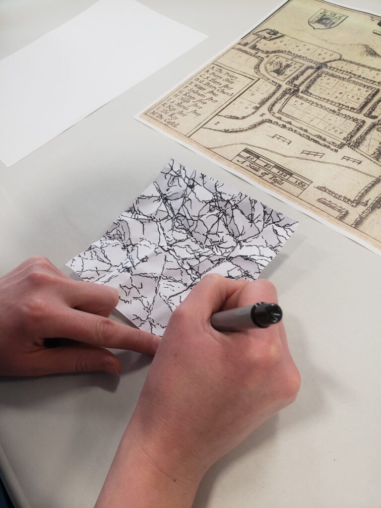
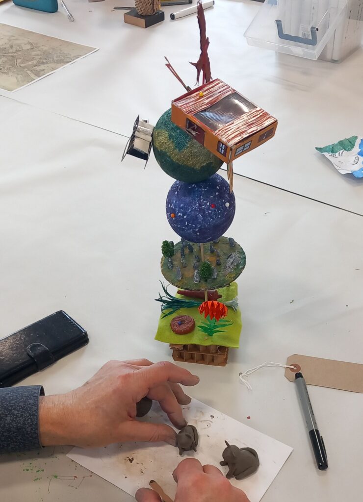
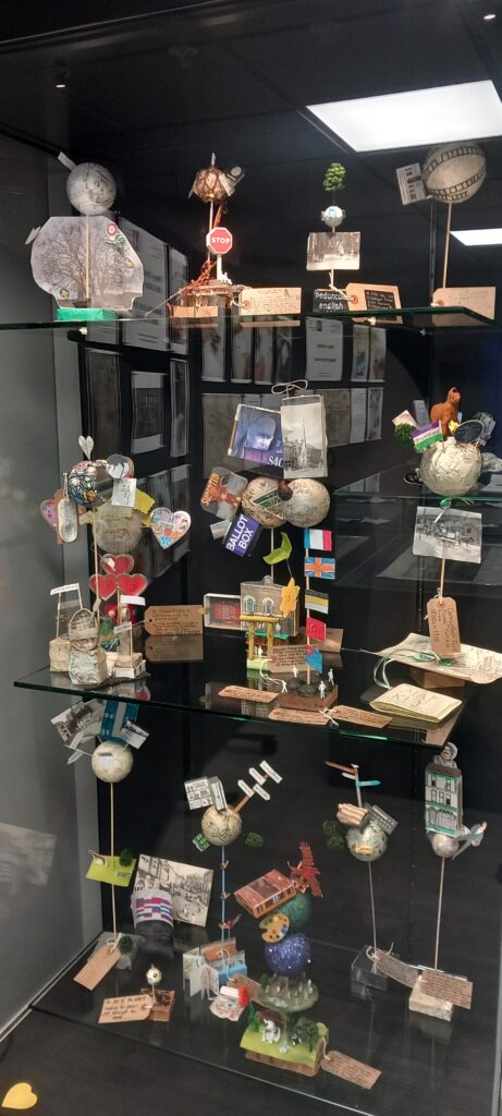
Each session began with an introduction to several of the historic maps held in the Archives, ranging from John Speed’s 1610 map of Carmarthen, with its town walls and gates, to the 1786 Vaughan Estate map depicting Merlin’s Oak, and the detailed St Peter’s tithe map. Guided by a local artist, participants then created their own “small worlds” illustrating what the town means to them—whether charting the changing shops of the high street or highlighting local memorials.
The sessions were warmly received by staff and attendees alike, and planning is already underway for future workshops building on this successful model.