Conservation of a very large estate map at Powys Archives
The Deuddwr Estate Map 1747/8 is a very large map (294 x 357cm) showing lands inherited by John Newport from the Earl of Bradford. The map was surveyed and engraved by John Rocque, a significant 18th century figure. His other works include plans of Richmond Gardens (now the Royal Botanical Gardens at Kew), Windsor Castle, Kensington Palace, Sion House and Cheswick Gardens. Rocque’s most famous work is a 1747 plan of London which is considered the most accurate representation of Georgian London.
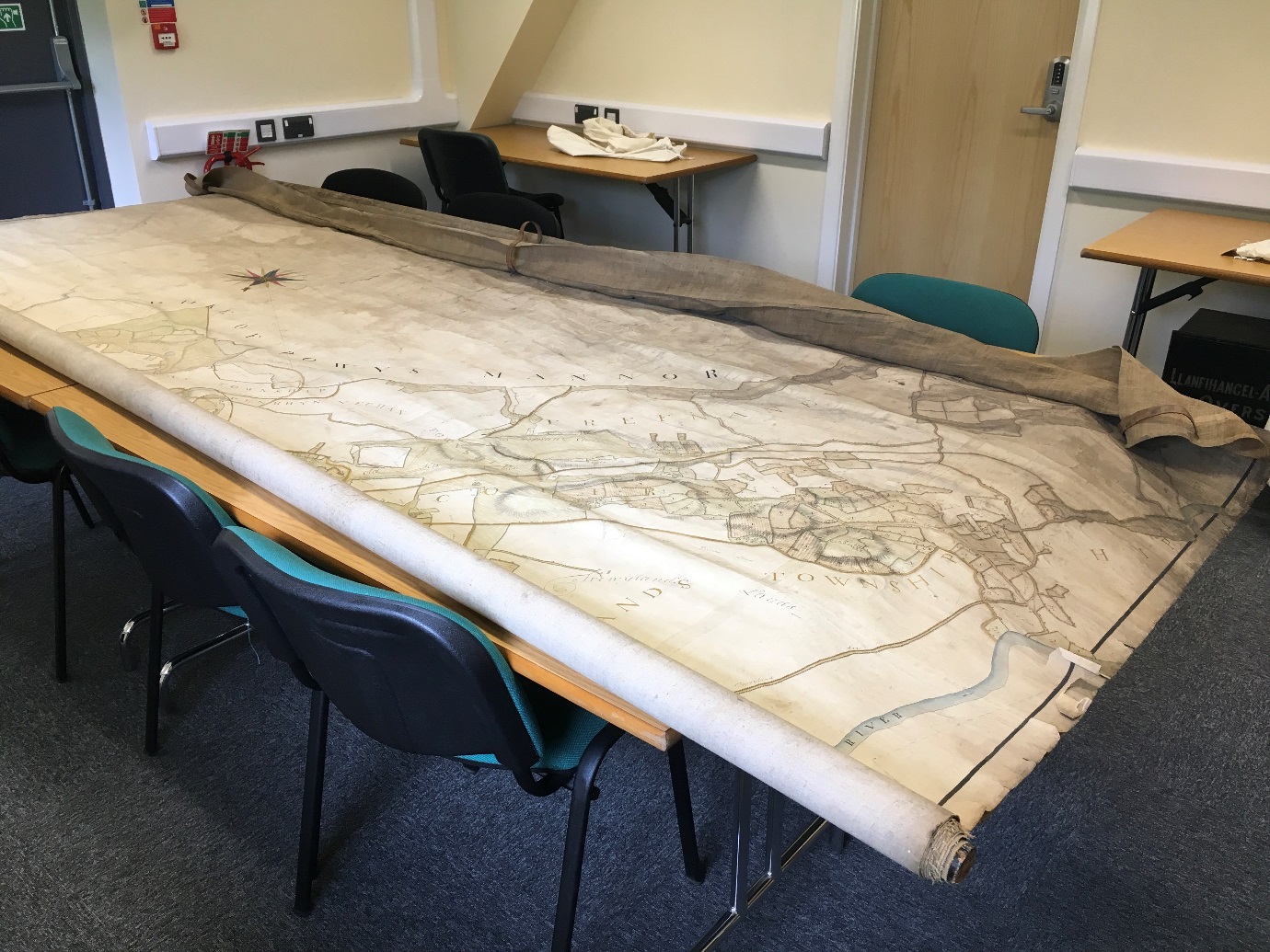
Powys Archives bought the Deuddwr map at auction back in 2002 with the assistance of a Resource/V&A Purchase Grant Fund. It is in fair condition, with all the detail still visible. However, the map has been stored rolled up, and without any outer packaging meaning the outer edge is dirty. There are also many places where the paper is coming away from the linen backing. Where this has happened the paper has begun to tear. Funding was sought through the NMCT and MALD in order to stabilise the map and ensure its long-term preservation.
Work on the map is due to start next year. It is hoped that once conserved, the map will become more accessible to the public. Digitised images will be produced to ensure quick access, but conservation will also ensure that the original can be accessed by staff, volunteers and researchers where necessary.